Invention of GIS
Roger Tomlinson, known as the "father of GIS," invented the concept while working for the Canadian government.
Unfold the world around you this GIS Day! Discover the power of mapping and how it shapes our lives daily. Let's traverse digital landscapes together!
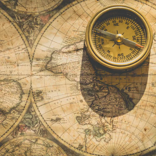
Mark your calendars for an exciting journey as we celebrate GIS Day on November 20! GIS, or Geographic Information System, is a modern marvel that has revolutionized mapping and continues to play an integral role in our daily lives. The roots of this special day go back to 1999 when it was first initiated by ESRI, a renowned international supplier of GIS software. Ever since, it has grown into a worldwide event with people participating from different corners of our planet. Community outreach, open houses, map galleries, geo-quests - there's no limit to how we can celebrate GIS Day. So, join us as we uncover the hidden stories of our fascinating world through the vivid and informative lens of GIS!
TIMELINE
GET INVOLVED
EDITOR'S PICK
ANIMATE
PARTICIPATE
ARRANGE
CURATE
WHY THIS DAY MATTERS
GIS Day encourages community engagement through various interactive activities such as Geo-Quests, trivia nights, and GIS workshops. It offers a unique opportunity for individuals and communities to come together and learn about the world around them.
Generally, the understanding of geographic concepts and spatial relationships is lacking among the public. GIS Day provides a platform to raise the awareness and improve geographic literacy in a fun and engaging way.
GIS technology has drastically altered how we collect, view, and analyze geographical data, making it an invaluable and powerful tool in various fields. GIS Day is a great time to showcase this power, by highlighting extraordinary GIS applications and innovations.
Explore the world without leaving home; it's Geography Awareness Week! Dive into the diversity of our planet and expand your horizons.
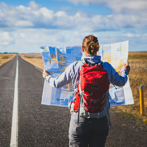
Ready for an adventure? Celebrate Read a Road Map Day by taking a scenic drive and exploring new destinations with the help of a trusty map!

Take a hike and explore nature with your local geek on National Hike with a Geek Day - it's the perfect way to learn something new!

Celebrate National Techies Day with the latest gadgets & gizmos! Get ready to explore new tech, learn something new, and have some fun!